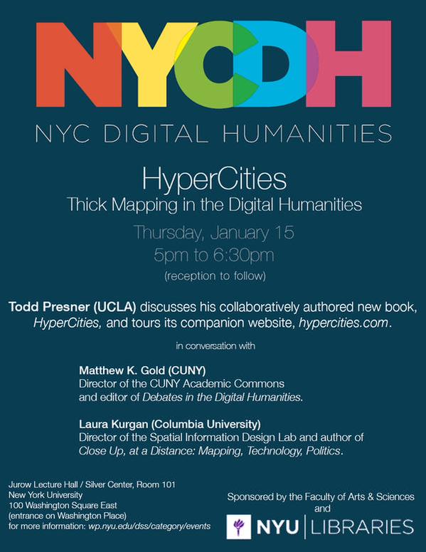
HyperCities: Thick Mapping in the Digital Humanities
Thursday January 15, 5:00- 6:30, reception to follow; books available for sale.
Jurow Lecture Hall at New York University Silver Center, Room 101, 100 Washington Square East (entrance on Washington Place)
Todd Presner discusses his collaboratively authored new book, co-edited with David Shepard and Yoh Kawano, a metaLAB project from Harvard University Press, and tours its companion website http://www.hypercities.com/. Todd Presner is Sady and Ludwig Kahn Director of the Center for Jewish Studies, Professor of Germanic Languages and Comparative Literature, and Chair of the Digital Humanities Program at the University of California, Los Angeles.
In conversation with:
Matthew K. Gold, Associate Professor of English and Digital Humanities, Graduate Center, CUNY; Director of the CUNY Academic Commons and Editor of Debates in the Digital Humanities (University of Minnesota Press, 2012)
Laura Kurgan, Associate Professor of Architecture, Planning, and Preservation, and Director of the Spatial Information Design Lab at Columbia University, and author of Close Up, at a Distance: Mapping, Technology, Politics (Zone Books, the MIT Press, 2013)
Introduced by Thomas Augst, Associate Professor of English and Acting Director of Digital Humanities, Faculty of Arts and Sciences, New York University
Part of the metaLAB series of books about the digital humanities, HyperCities: Thick Mapping in the Digital Humanities (2014) is a collaboratively authored and designed exploration of mapping cities over time. The primary authors are Todd Presner, David Shepard, and Yoh Kawano, with contributions by Philip Ethington, Mike Blockstein, Reanne Estrada, Chris Johanson, Diane Favro, and Xarene Eskandar. A digital platform transmogrified into a book, it profiles the ambitious online project of the same name that maps the historical layers of city spaces in an interactive, hypermedia environment. The authors examine the media archaeology of Google Earth and the cultural–historical meaning of map projections, and explore recent events—the “Arab Spring” and the Fukushima nuclear power plant disaster—through social media mapping that incorporates data visualizations, photographic documents, and Twitter streams. HyperCities includes a “ghost map” of downtown Los Angeles, polyvocal memory maps of LA’s historic Filipinotown, avatar-based explorations of ancient Rome, and hour-by-hour mappings of the 2009 Tehran election protests.
This in an NYC-DH event, sponsored by NYU Libraries, in partnership with the Faculty of Arts and Sciences of New York University.
For more Digital Humanities events at NYU, see the full schedule here.


