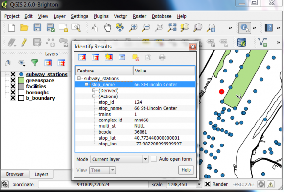
Do you have a research question that you’d like to envision geographically? Maybe you’d like to study neighborhoods and businesses to target a market, or to provide a public service. Or perhaps you want to visualize the distribution of education, employment, or resources across the country or around the world. Have you ever wanted to add a map to your presentations or reports, but couldn’t find one that suits your needs?
Then consider registering for the GIS Practicum! Every semester I offer a day-long crash course covering the basics of geographic information systems. I use the free and open source software package QGIS, which is cross-platform and ensures that you’ll be able to take both the GIS skills and tools you’ll learn with you wherever you go.
The workshops are held at the Newman Library at Baruch College, and all current CUNY graduate students, faculty, and staff are eligible to attend (Baruch undergrads are eligible as well). There is a small registration fee, which covers a light breakfast and a detailed tutorial book you’ll receive. For details and to register visit:
http://guides.newman.baruch.cuny.edu/gis/gisprac
The session for Friday Feb 27th is already full and closed, but seats are still available for Friday Mar 27th and Friday Apr 24th. I hope to see you there – but if you can’t make it, the materials we use in class are available on-line at http://www.baruch.cuny.edu/geoportal/practicum/ if you’d like to work through them on your own.
– Frank Donnelly, Geospatial Data Librarian, Baruch CUNY


Comments are closed.